Warmer days for summer

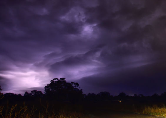
Lightning during an evening storm near Warwick.

By TERRY WEST

WITH sea temperatures in the Tropical Pacific sitting in the neutral range still, it appears the El Nino/La Nina event for the coming season may stay the same.
This will give the eastern parts of Australia average rainfall and warmer daytime temperatures.
The past month has seen mild winter temperatures over the Southern Downs and Granite Belt with only a few mornings of frost recorded.
Some rainfall and the occasional storm have been reported during the last week or so of last month.
More falls are forecast in the next few days with the Southern Downs having the chance of a storm developing today (Thursday) as a surface trough moves through from the southern regions.
The next month appears to be following the same pattern with only mild temperature forecast.
After a month of some good rainfall in some areas, the next month looks to be a bit drier with only low fall forecast for the region.
Rain associated with cold front events may develop over south-east Queensland on 15-19 August, 21-25 August, and 30 August to 3 September, with some light falls forecast near the beginning of next month on 9-13 September.