Not a lot of rain in sight

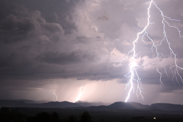
Picture: ELLIE THOMPSON

Heatwaves, but some rain due in February – TERRY WEST shares his weather outlook for the next few weeks …
A few storms moved through during last week, bringing much-needed rain to the land. There is a chance of patchy storms in the next few days then the patterns dry off to hot and dry conditions.
This month is looking dry and hot once again with only a few rain days on the horizon.
The ENSO – El Nino-Southern Oscillation – remains neutral this month with only a slight leaning toward La Nina near the Dateline.
This means SEQ will see limited rainfall and warmer conditions throughout the month of January and into February.
The Southern Annular Mode – or SAM – is still on a northerly shift, meaning westerly winds and high pressure systems will dominate the northern parts of the country, leading to fine and hot days.
Another model, the hemispheric long wave pattern, is used to determine the effects on our weather of upper troughs near Australia.
Recently, the long-wave pattern has remained stable with six main troughs being the most significant.
Southern and eastern Australia should see some cold front events bringing widespread rain about 2 February to 6 February, 9 February to 13 February and 14 February to 18 February, with rain events from the north around 21 January to 25 January and 18 February to 22 February.