By STEVE GRAY
THE waters haven’t risen, but prices are certain to fall.
Property owners on Rosenthal Rd, Warwick, could be in for a rude shock if they try to sell their land, get finance, or when it comes time to renew insurance.
According to maps on council’s website they’re flood-prone, and that will seriously affect their chances of sale.
The maps show the homes underwater in the event of a flood on Rosenthal Creek.
The maps themselves are produced by the Queensland Reconstruction Authority (QRA) and Southern Downs Regional Council is obliged to use them by State Government legislation.
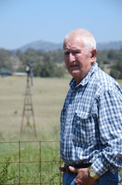
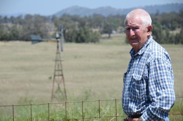
Local farmer Jim Mulcahy was to the point.
“It’s ridiculous, that bloody thing,” Jim Mulcahy said of the flood map overlays.
“It’s just stupidity.”
He should know. Mr Mulcahy turns 80 next year and has lived on farmland there all his life.
He has sold off four house blocks over the years and even the most severe floods did not, and could not, reach the structures built on them. He even persuaded one buyer not to build near the creek, but well above the known flood level.
Rosenthal Rd resident Bronwyn Osborne said even the 2010, 2011 and 2013 floods came nowhere near her house, which would have been underwater according to the QRA flood maps.
“Recent floods never came anywhere near us, and we’ve had two big floods in recent years
“Even in 1974 the flood went around us,” Ms Osborne said.
In nearby Kingsleigh Rd, Mitch Gimm said the flood maps would wreck anyone’s chance of selling.
“Nobody would touch it because of that,” Mr Gimm said.
“If we get flooded up here, God help Warwick.
“Even in that 2010 flood you could see how high it was in town, but I couldn’t even see the water from here.
“My father’s been here 40 years and it’s never been near here.
SDRC says a similar situation shows unrealistic flood levels in Maryvale, where mapping shows Glengallan Ck crossing the Cunningham Highway.
Director of Engineering Services Peter See said council understood the concerns of SDRC residents about flood mapping.
“We’ve begun a flood study for Rosenthal Creek,” he said.
A draft study of baseline information should be completed by November and council would then ask for public feedback, Mr See said.
The cost will be around the same as a similar study in Applethorpe, around $34,000.
“It will considerably improve the QRA mapping, in that it will narrow it down.”
Local Government, Community Recovery and Resilience Minister David Crisafulli said the QRA flood maps were a high level guide which councils could adopt, use in part, or ignore and do their own.
“While the maps have been used in many regions, wherever the info is not in line with community expectations, councils are encouraged to do their own mapping,” Mr Crisafulli said.


