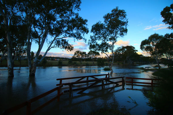
Wet August forecast

A winter rise in the Condamine.

By TANIA PHILLIPS

THE next month looks to be another wet one with the Pacific Ocean cooling significantly since the peak of the 2015-’16.
The latest modelling is showing a neutral outlook with a small rise toward La
Nina during August.
This has a chance to increase rainfall across SEQ, and may give some significant falls near the coast.
Days rain can be expected through our region during the next month are
as follows.
Events from the tropics are expected around 16 July to 20 July and 30 July to 3 August.
Southern and western are expected around 26 July to 30 July; 1 August to 5 August and
9 August to 13 August.
Unfortunately, the Southern Downs and Granite Belt may miss the northern events as a pattern of lows from the south continue to drive steering winds away during these events.
Temperatures are likely to stay mild with little frost and no snow forecast for the next month. A series of lows are expected from the bight during the next month and while these will push snow over NSW it will not reach the Southern Downs and the cloud cover from these events will be one reason for the warmer nights.
The coming season has a lot of dry undergrowth and this will make for
a dangerous fire season. Be proactive and start cleaning out paddocks
etc now to prepare for the season.